top of page

Now part of the TopKnotch Innovations Family!
Services
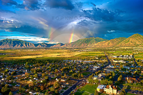
Our FAA-certified and licensed pilot delivers precise aerial data and stunning visuals to drive better decisions and showcase your projects.
We primarily support construction, general contractor, and small business projects. We specialize in comprehensive site surveys, real-time progress monitoring, and mapping. Boost efficiency, cut costs, and enhance safety with our drone solutions. Get real-time, high-res site monitoring, detailed inspections, and precise land mapping—all in one innovative package. Elevate your construction projects today!


Events
-
Weddings
-
Sporting Events
-
Concerts & Festivals
-
Corporate & Special Events
-
Outdoor Adventures
-
Note: Event photography may require additional notice, fees, and waivers as our pilot follows all FAA regulations


Other Services
-
Mapping
-
3D Models
-
Thermal Imaging
-
Real Estate & Property Management Aerial Photography
-
General Photography
-
Questions? We're always willing to talk about drones can support whatever you need!
bottom of page